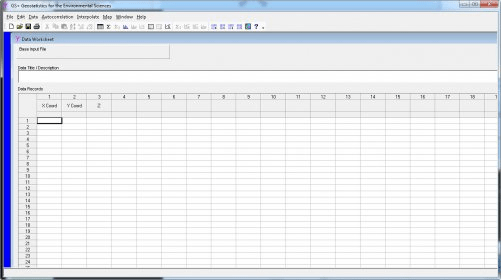
GS is a comprehensive geostatistics program that is fast, efficient, and easy to use. GS provides all geostatistics components, from variogram analysis through kriging and mapping, in a single integrated program widely praised for its flexibility and friendly interface.


Comments (2)